Shopping Lake Wedowee and seeing the phrases “year-round water” and “cove lot” everywhere? If you are a first-time lake buyer, those terms can feel confusing, and the choice can shape your boating, your views, and your budget. This guide breaks down what each option means on Lake Wedowee, the real-world pros and cons, price patterns, and a simple checklist you can use on showings. Let’s dive in.
Year-round water defined
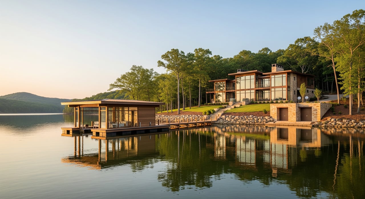
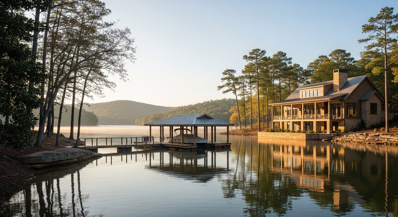
On Lake Wedowee, also known as the R.L. Harris Reservoir on the Tallapoosa River, water levels can fluctuate due to power generation, seasonal inflows, and planned drawdowns. Alabama Power manages the reservoir, including lake levels, docks, and shoreline permitting. When a property is described as having year-round water, it typically means the shoreline remains navigable and usable through normal seasonal changes.
To confirm, ask for recent low-water photos, aerial images from different seasons, and any records from Alabama Power or local marinas that show dock usability at lower levels. Main-channel frontage often aligns with year-round water since the primary channel is deeper and marked for navigation. Still, verify with documents and site observations.
Seasonal coves explained
A seasonal cove is a smaller inlet or protected arm off the main channel. During low water or drawdowns, these areas can get shallow, expose rock or mud, and may limit boat access. Some narrow coves can even become isolated at very low levels.
Coves can still offer great experiences when water is up, especially for quiet paddling and swimming. The key is to understand how that specific cove behaves across seasons, which local marina operators and long-time neighbors can often explain clearly.
Boating and access
Year-round or main-channel frontage benefits:
- Immediate deep water access and quicker trips to open water and marinas.
- Better fit for bigger boats, wake sports, and deeper drafts.
- Docks remain more consistently usable, often with simpler dock solutions.
- Clearer night navigation thanks to open sightlines and channel markers.
Year-round or main-channel tradeoffs:
- More boat traffic and wake activity close to busy areas.
- Less protected water for small craft during peak times.
Seasonal cove benefits:
- Calmer, protected water ideal for kayaks, paddleboards, and swimming when water is present.
- Greater sense of seclusion and less through traffic.
Seasonal cove tradeoffs:
- Shallow conditions at low water can limit larger boats or any boat with a deeper draft.
- Longer or narrower routes to reach the main channel, which can be tricky when water is down.
- Dock usability can change seasonally, sometimes requiring longer gangways or seasonal adjustments.
Views and privacy
Year-round or main-channel views:
- Broad, open-water vistas and potential sunrise or sunset exposures depending on lot orientation.
- Visually appealing shorelines even at lower water since the lake stays near the dock.
Tradeoffs:
- Less privacy due to passing boats and neighbors also drawn to wide views.
Seasonal cove views:
- Intimate, tree-lined scenery with a private feel.
- Natural backdrops can screen nearby homes and reduce visual clutter.
Tradeoffs:
- During low water, exposed rock or mud can reduce visual appeal.
- Vegetation and cove shape may limit panoramic views.
Price and resale
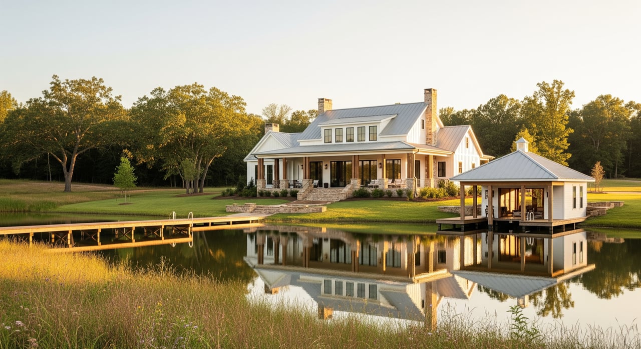
In general, main-channel or year-round water frontage commands a premium because of reliable boating access and open views. That said, exact differences vary with supply, demand, and the quality of a specific lot. A secluded cove with deep water at the dock and minimal nearby development can sell close to main-channel prices.
Features that add value regardless of location include a usable dock, a cleared view corridor, a gentle slope to the water, good soils for septic, utilities in place, and proximity to marinas and ramps. For valuation, compare recent sales by frontage type and location rather than mixing main-channel, cove, and interior lots together.
Permits and docks
Alabama Power oversees dock and shoreline work on Lake Wedowee. Plan to confirm any existing permits, ask whether they are transferable, and review recorded deed language and plats for shoreline easements. Shoreline stabilization such as riprap or retaining walls often requires approvals and may have engineering requirements.
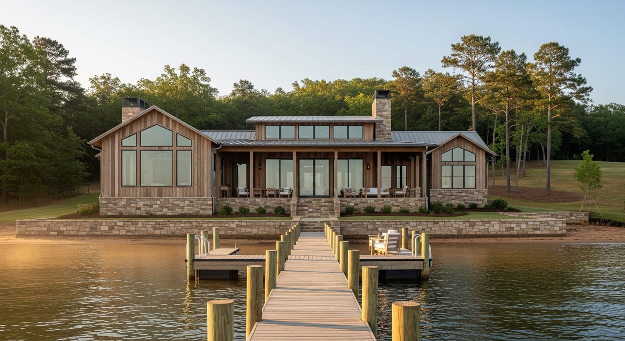
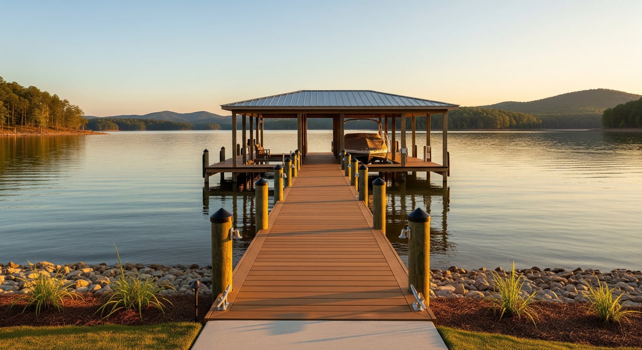
Common dock setups include floating docks, fixed piers, and seasonal stack piers. Floating docks are typical where water levels change because they rise and fall with the lake. Fixed piers can work in stable, deeper water but often need longer pilings. Your choice will depend on depth, slope, and how your shoreline behaves during lower water.
Also consider risk and infrastructure. Even inland lakes can include FEMA flood zones, so check maps and talk with local insurance pros. For septic systems, consult the county health department to confirm feasibility, since shallow soils or rocky banks can affect installation.
How to evaluate lots
Paperwork to request
- Recorded plat and deed showing where boundaries end and any shoreline easements held by Alabama Power.
- Recent survey with property lines and structures to the water’s edge.
- Dock and boat lift permits or approvals, plus any transfer details.
- Multi-year aerial photos and low-water images, if available.
- HOA rules or covenants affecting docks, slips, or shoreline changes.
- Dock and shoreline maintenance records or repair invoices.
On-site checks
- Visit or review photos taken at low water to see mudlines, rock exposure, and depth near the dock.
- Note the lot slope to the water, which affects gangway length and dock design.
- Look for navigation constraints such as submerged logs, shallow bars, or narrow cove mouths.
- Observe noise and traffic patterns during a typical weekend and a weekday.
- Inspect for erosion, recent shoreline work, and the condition of dock floats, pilings, and hardware.
- Confirm road access, distance to ramps, and proximity to marinas and services.
Questions to ask
- Has Alabama Power issued any dock or shoreline permits for this property, and are they transferable?
- Are there any recorded easements across the lot for utilities or access?
- Do you have current photos from the lowest recent water levels or a planned drawdown period?
- How often has this cove become shallow or difficult to access in recent years?
- Are any maintenance drawdowns expected that could affect your dock or access timeline?
- What are the most recent comps near this property with the same frontage type?
Quick decision rules
- If your top priority is reliable boating with larger boats, favor year-round or main-channel frontage. Verify recent low-water records.
- If you value privacy, calmer water, and potentially a lower price, consider coves. Validate depth and access at low pool.
- If you want balance, look for a protected cove that still connects quickly to a deep channel, or a main-channel lot tucked just inside a protected pocket.
- For pricing confidence, compare apples to apples. Separate comps by frontage type and confirm details with surveys and seasonal imagery.
Photo guide for buyers
Bring or request visuals so you can compare lots side by side. Label each image with the date and season.
- Aerial comparison: A main-channel lot compared with a nearby cove lot. Note channel markers and straight-line access.
- Low-water shoreline close-up: A cove at low level showing exposed mud or rock to gauge seasonal usability.
- Dock examples: Floating dock versus fixed pier to understand what fits your shoreline and water depth.
- Panoramic open-water view: Main-channel vantage to illustrate broader views and boat traffic.
- Narrow cove entrance: Photo of a tight cove mouth to highlight navigation restrictions during low water.
- Dock at low pool with measurement: A ruler or tape to show clearance from dock to waterline for practical usage checks.
- Local marina or ramp: A reference shot to gauge travel time to services.
Local resources
- Alabama Power for lake operations, levels, and dock or shoreline permitting.
- Randolph County offices for deeds, plats, and property records.
- Local marinas and ramp operators for seasonal navigation insights in specific coves.
- County health department for septic feasibility and permitting steps.
- FEMA flood maps for insurance considerations near the shoreline.
- A local waterfront agent experienced with Lake Wedowee for comps and pricing guidance by frontage type.
Work with a local expert
Choosing between year-round water and a cove on Lake Wedowee comes down to how you want to use the lake, what you want to see from your porch, and how you want your dock to perform during low water. With decades on the water and showings by boat, you get clear, practical guidance from a trusted local. If you are ready to compare specific lots and confirm details like dock permits, depth, and access, connect with Bill Coats to Schedule a Free Consultation.
FAQs
How can I confirm year-round water on Lake Wedowee?
- Ask for low-water photos, multi-season aerials, recent surveys, and any Alabama Power records that show dock usability during lower levels.
Will a seasonal cove hurt resale value on Lake Wedowee?
- It depends on buyer priorities and lot quality. Main-channel lots often command a premium, but private coves with deep water can sell strongly too.
Do I need a permit to build a dock on Lake Wedowee?
- Most shoreline work and docks require approvals from Alabama Power and may involve county steps. Confirm permit status early in the process.
What dock type works best for changing water levels?
- Floating docks suit fluctuating water since they rise and fall with the lake. Fixed piers can work in deeper, stable areas but often need longer pilings.
How do drawdowns affect a cove lot on Lake Wedowee?
- Lower water can expose mud or rocks, reduce depth at the dock, and make narrow cove mouths harder to navigate until levels rise.
What should I bring to a Lake Wedowee lot showing?
- A tape measure, a phone for geo-tagged photos, recent aerials, any permit documents, and a checklist covering depth, slope, access, and erosion signs.